
How to get to Orellana through El Coca
When deciding how to get to Orellana, start with El Coca, also called Puerto Francisco de Orellana. The provincial capital is a gateway for Amazon journeys, and Francisco de Orellana Airport uses the code OCC. You can fly from Quito to Coca or consider travelling overland. A forest itinerary may then involve a separate transfer by road or boat, depending on the programme.
Keep the stages distinct when arranging your trip. An airport arrival brings you to Coca; it does not by itself establish how or when you reach a river departure point. Your accommodation or expedition will specify its own meeting arrangements. Allow enough time to connect them and consider a city stay if your arrival is close to the departure time.
Use the El Coca guide to get oriented, the accommodation guide to choose a base and the Napo river guide to understand onward travel.
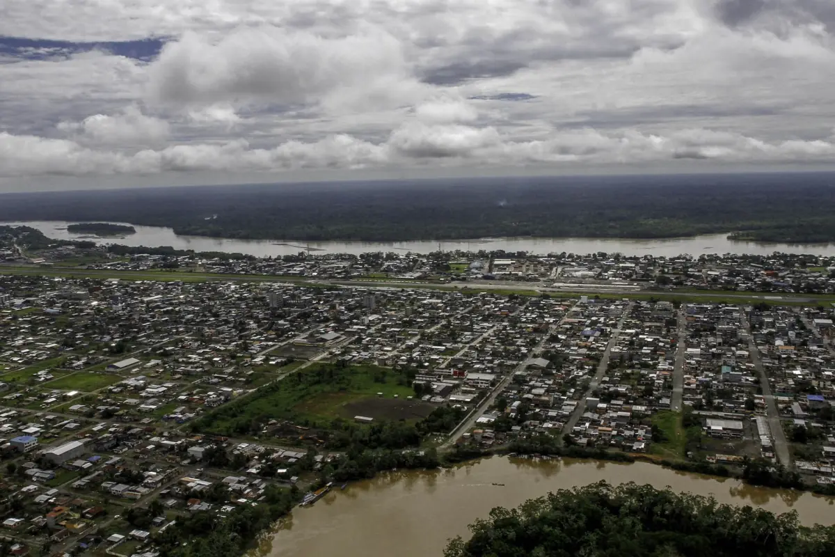
An expedition meeting at Coca airport
This expedition meets at El Coca airport in the morning.
Hand-picked tours, booked through Viator. Prices are indicative starting prices in US dollars (as of October 2026). Tap a tour for live availability and the current price in your currency.
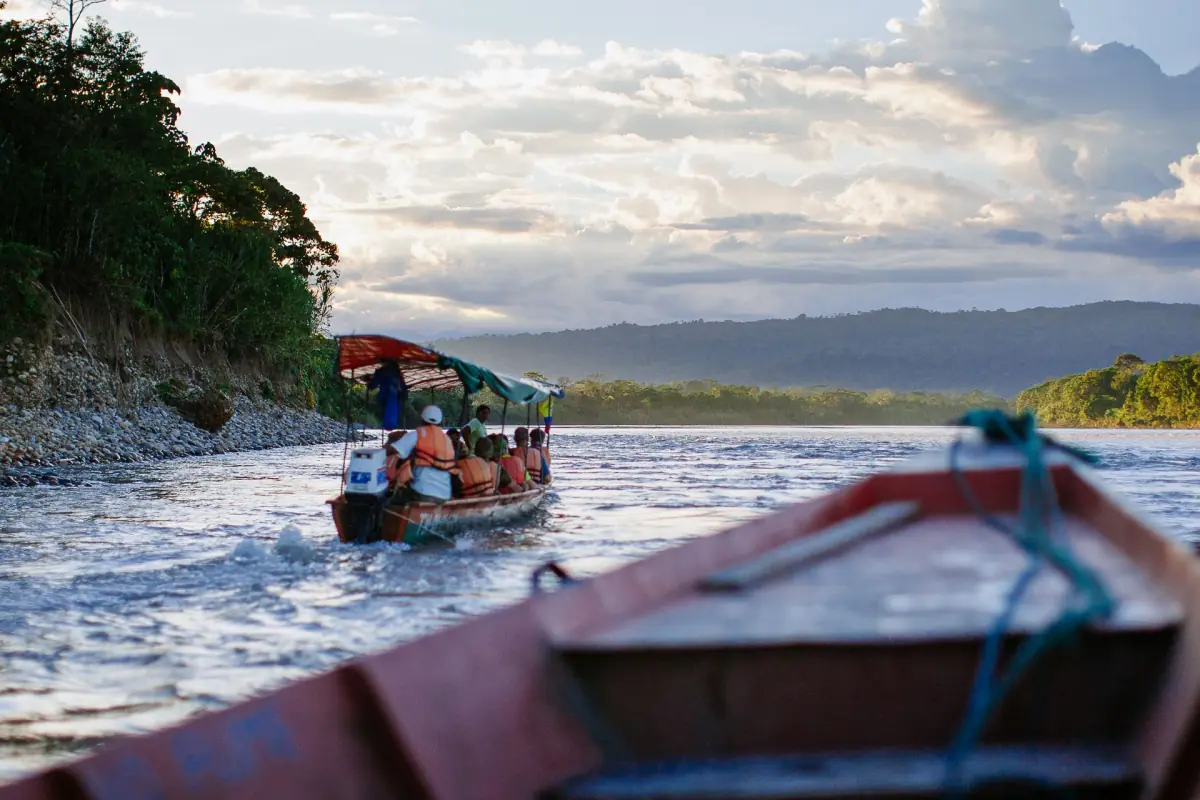
Expedition from Coca airport
This multi-day expedition meets at El Coca Airport and includes land and water transport as part of its itinerary.
Quito to Coca flight
A flight from Quito to Coca is one way to reach the provincial capital before continuing into the forest. Compare your flight arrival with the meeting time and place of your own programme. The expedition presented here meets at El Coca Airport at 08:00 and includes land and water transport, equipment and four nights of accommodation over a five-day journey.
That meeting arrangement belongs to the expedition rather than a separately bookable airport transfer. If your flight does not leave sufficient time to meet the group, consider arriving earlier and staying in the city. Check your flight and the programme together, including the return connection. Flight schedules and the availability of individual itineraries can change.
Taxi and transfers from Francisco de Orellana Airport (OCC)
For an independent arrival, arrange the connection from the airport to your city accommodation or the meeting point named in your itinerary. A journey from the city to a forest destination may then use a different vehicle or boat. Ask your accommodation or trip organiser for the relevant meeting instructions and cost before setting out.
Do not use the airport code as a substitute for an actual meeting point. An itinerary that begins at the airport and a boat that departs from a pier are separate arrangements. Keep contact details available and make a plan for reaching your next stop if a connection changes.
Road and bus from Quito
The road from Quito offers an overland alternative. The approximate driving time is five to six hours, a planning reference rather than a guarantee. For bus travel, the museum in Coca gives an approximate journey time of seven to eight hours. Road conditions and connections can change, so allow extra time and check the route close to departure.
A road report dated 31 October 2026 described a temporary diversion between Coca and La Joya de los Sachas and erosion damage on the San José de Guayusa access road. Such reports are snapshots, so use current route information for your own journey instead of assuming the same conditions will apply on your date.
Car rental and parking
For an overland trip, collecting a rental car at Quito Airport (UIO) is an option. Plan the drive to Coca with the approximate journey time and changing road conditions in mind. Make arrangements for parking where you leave the car and for your onward transfer. A car journey to Coca and a boat journey to a forest accommodation are separate parts of the route.
Find a rental car at Quito Airport (UIO) on Economybookings.
Onward by river
The Malecón in Coca is a departure point for river journeys toward Yasuní. Your actual pier, boat and departure time depend on the programme. One community operator describes a journey of about two hours by boat from its private Coca pier to its own location; this does not establish a general journey time for other destinations.
Read the transport details for your own itinerary and arrange the return leg as carefully as the outward journey. For a longer visit, see the Yasuní National Park guide and the options for community tourism.
Health and safety
Forested Orellana is a yellow fever risk area, and malaria is also relevant to travel health planning. Seek individual travel medicine advice for your route and prepare mosquito protection. Check your insurance and plan how you will communicate and obtain help; some forest accommodation is far from a larger hospital.
For river travel, consider weather, currents, equipment and insurance. Travel during daylight with an officially operating guide and have an emergency plan. Ecuador's emergency number is 911. Pack for rain and see the timing guide for the effect of changing conditions.
Cuyabeno
Cuyabeno is in the province of Sucumbíos. If you are considering it as a separate onward destination, plan its transport and accommodation separately from your Orellana itinerary.
Tena
Tena is in Napo province. Treat a visit there as a separate connection and leave time to move between destinations rather than assuming it is part of a Coca programme.
Getting to Orellana: questions
Which airport serves Coca?
Francisco de Orellana Airport uses the code OCC.
How long is the drive from Quito?
Allow approximately five to six hours as an orientation, with extra time for conditions and stops.
Does every forest trip leave directly from the airport?
Meeting places differ. Use the instructions for your own programme and arrange any separate connection.